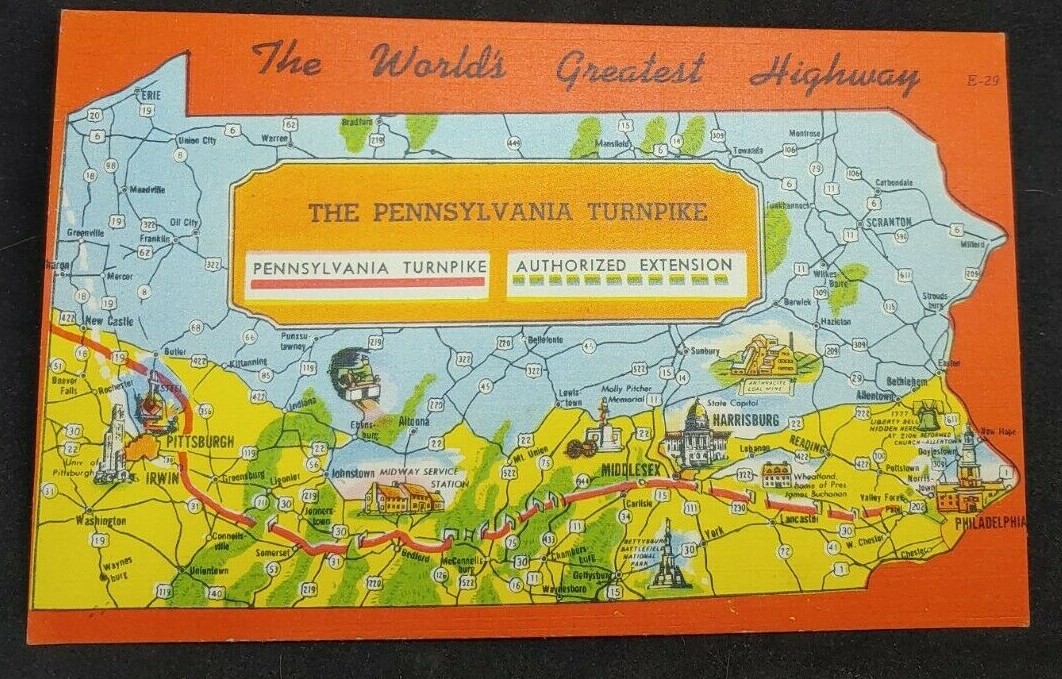
An undated post card map showing the Pennsylvania Turnpike and the land area of Pennsylvania is passes through, including the Harrisburg area. Route 209 is shown as it passes through the Lykens Valley, but none of the towns are noted. A breaker is representative of anthracite coal mining.
Portions of the turnpike were opened in 1940 and the turnpike was basically completed along its present route in the early 1950s. From the 1950s through the 1970s, when traveling by auto, the turnpike was the fastest way to get from Philadelphia to the Lykens Valley.
On the back of the post card is the following description:
THE PENNSYLVANIA TURNPIKE
The greatest of all “Man-Made Wonders,” over whose smooth surface millions have traveled since its opening.
For three hundred and twenty-seven miles – not a stop sign – traffic light – cross road or street – n grade over three percent which instead of climbing over the peaks of the Alleghenies, dives through them in seven well-ventilated, well-illuminated tunnels.
Throughout the entire length of the Turnpike, Gasoline Service Stations and Restaurants are located on both sides of the roadway at staggered points. The Restaurants are most attractive and are operated by the famous Howard Johnson where good food can be obtained at reasonable prices.
_______________________________________
Corrections and additional information should be added as comments to this post.